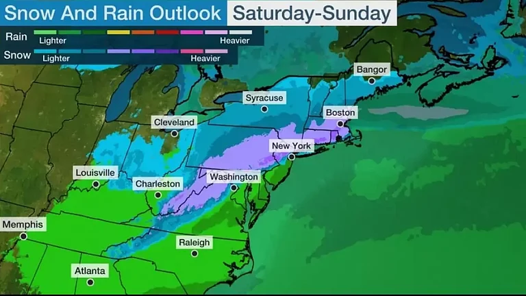
A significant weather system is set to unleash its fury upon the Northeast and Midwest regions of the United States, putting approximately 70 million Americans on high alert from Sunday through to Tuesday. The National Oceanic and Atmospheric Administration's (NOAA) Storm Prediction Center has issued a stern warning, designating this multi-region storm system as a level 3 out of 5 risk for severe weather.
In the Northeast, the stage is set for intense thunderstorms to brew, particularly late Sunday afternoon. Forecasters predict these storms will gather momentum in a corridor stretching from the upper Ohio Valley into Pennsylvania's Pocono Mountains and New York's Catskill region. The looming threat includes damaging winds, potential hail, and even tornadoes, as the storm gradually creeps southward into Sunday evening.
Residents from Pittsburgh to New York City should remain vigilant, as a line of potent storms is projected to sweep through the area between 10:00 pm and 11:00 pm ET on Sunday night.
Meanwhile, in the Midwest, a dynamic weather system spanning from the Rockies to the Great Plains is gearing up to unleash its fury on Monday. Stretching from the Dakotas down to Texas, this system has the potential to spawn supercell storms capable of producing large hail, destructive winds, and tornadoes. Severe thunderstorms are expected to sweep across the southern to central Great Plains on Monday evening, with the possibility of hail, wind damage, and isolated tornadoes.
The onslaught may begin as early as 5:00 pm CT in Central Texas and Nebraska, persisting overnight as it sweeps across the region. By Tuesday morning, the storm's impact is expected to reach from eastern Nebraska to Kansas City, Missouri, and parts of Iowa, with the potential for lingering strong and severe storms.
The apex of the storm's fury is anticipated on Tuesday afternoon, with Des Moines, Iowa, to Columbia, Missouri, identified as potential hotspots for the most violent weather. As the system progresses, scattered severe thunderstorms are forecasted to persist into Tuesday evening, extending from Chicago to east of Dallas.
Even as the week progresses, the threat lingers. On Wednesday morning, parts of the Ohio River Valley may still contend with lingering strong to severe storms.


