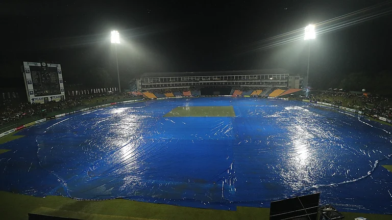
Summer season has arrived and so the vacations. People are all set to travel with their friends and families to have a relaxing holiday. However, there are a few things that travelers must be aware of.
Government officials have recently announced their predictions for 2024 hurricane season. The National Oceanic and Atmospheric Administration (NOAA) and the National Weather Service's Climate Prediction Center have forecasted an "above-normal" hurricane season for the Atlantic basin region in 2024.
What is predicted by NOAA for 2024 hurricane season?
The outlook for the hurricane season, which runs from June 1 to November 30, includes an 85% chance of above-normal activity, a 10% chance of a near-normal season, and a 5% chance of a below-normal season.
NOAA predicts 17 to 25 named storms (winds of 39 mph or higher) this season. Of these, 8 to 13 are expected to develop into hurricanes (winds of 74 mph or higher), with 4 to 7 potentially becoming major hurricanes (category 3, 4, or 5, with winds of 111 mph or higher). Forecasters have a 70% confidence in these projections.

The anticipated above-normal activity is attributed to several factors, including near-record warm ocean temperatures in the Atlantic, the development of La Niña conditions in the Pacific, reduced Atlantic trade winds, and decreased wind shear, all of which promote tropical storm formation.
NOAA also released the names of 2024 storm:
Alberto
Beryl
Chris
Debby
Ernesto
Francine
Gordon
Helene
Isaac
Joyce
Kirk
Leslie
Milton
Nadine
Oscar
Patty
Rafael
Sara
Tony
Valerie
William


“With another active hurricane season approaching, NOAA’s commitment to keeping every American informed with life-saving information is unwavering,” NOAA Administrator Rick Spinrad, Ph.D. stated.
For travelers planning trips to hurricane-prone areas like Florida or the Caribbean, airlines will regularly update their operational status and travel waivers on their websites. United Airlines, for example, has an “Alerts” page providing guidance on flight interruptions and potential ticket cancellations and refunds.

The NOAA report comes as millions of Americans struggle against severe weather, including heavy flooding in Texas and tornadoes in Iowa leading to casualities.
"Already, we are seeing storms move across the country that can bring additional hazards like tornadoes, flooding, and hail. Taking a proactive approach to our increasingly challenging climate landscape today can make a difference in how people can recover tomorrow," stated FEMA Deputy Administrator Erik A. Hooks.
Enhanced forecast communications
NOAA has planned improve its forecast communications, decision support, and storm recovery efforts. These enhancements aim to better inform and protect the public during tropical cyclone events.
- To expand its Spanish language text product, starting this season, all Public Advisories, the Tropical Cyclone Discussion, the Tropical Cyclone Update, and Key Messages for the Atlantic basin will be available in Spanish, broadening accessibility for Spanish-speaking communities.
- Beginning around August 15, the NHC will introduce an experimental version of the forecast cone graphic. This new version will include inland tropical storm and hurricane watches and warnings for the continental U.S. Research has shown that adding inland watches and warnings to the cone graphic can effectively communicate inland hazards without complicating the existing format.
- The NHC will now issue U.S. tropical cyclone watches and warnings through both regular and intermediate public advisories. This improvement means that updates to watches and warnings for storm surge or winds can be communicated more promptly, without waiting for the next full advisory issued every six hours.