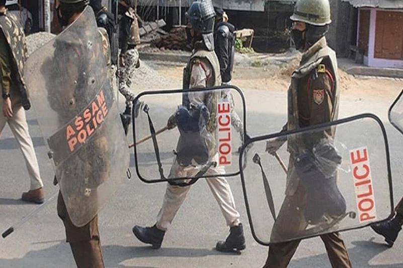
Six Assam Police personnel and a civilian died at the Assam-Mizoram border on Monday while around 50 others, including Cachar district SP, were injured when police from Mizoram allegedly opened fire on them in one of the worst instances of interstate border clashes in the northeast.
The clashes took place within days of union home minister Amit Shah chairing a meeting of the chief ministers of all the eight states of the Northeast in Meghalaya's capital Shillong. The meeting saw a discussion over border disputes among several states of the region with participants agreeing on the need to resolve these issues amicably at the earliest.
Assam CM Himanta Biswa Sarma had said that while some progress had been made with Arunachal Pradesh and Meghalaya, there was some tension at the border with Mizoram but he was hopeful it could be sorted out.
On the other hand, Mizoram CM Zoramthanga said the border disputes in the region were a legacy of the colonial era and lasting peace between states was important for further development.
Border dispute dating back decades
The Assam Mizoram conflict dates back decades and essentially boils down to a territorial conflict, with the peculiar geopolitics of the north-eastern states making the issue a volatile one.
Three districts of Mizoram - Aizawl, Kolasib and Mamit - share a 164.6 km border with Assam’s Cachar, Karimganj and Hailakandi districts.
Mizoram claims that a 509-square-mile stretch of the inner-line reserve forest notified in 1875 is the actual boundary separating Mizoram and Assam. The dispute originates from this 1875 notification that differentiated Lushai Hills (the former name of Mizoram before it became a state) from the plains of Cachar, and another of 1933 that demarcated a boundary between Lushai Hills and Manipur.
To that effect, the Mizoram government has constituted a boundary commission and officially intimated the matter to the Centre. It is at present studying and assessing old maps and documents to assert its claim further.
Several dialogues have been held since 1995 to resolve the border dispute but none yielded little result.
The present build-up: A timeline
On June 30, with tensions between Assam and Meghalaya flaring, Mizoram accused Assam of encroaching upon its land in the Kolasib district. Assam also accused Mizoram of building structures and planting betel nut and banana saplings allegedly ten kilometres inside Hailakandi district in Assam.
Following this, the Assam Police allegedly took control over an area known as ‘Aitlang hnar’ about 5km from Vairengte, and accused Mizoram of encroaching on its territory.
A team of officials from Hailakandi rushed to the border but was stopped by Mizo encroachers and forced to return.
Amid growing tensions, officials of both states held discussions to find a peaceful solution. Assam officials, however, refused to withdraw from the area
On July 10, there were reports fo crop and betel nut trees belonging to a Mizoram farmer being damaged during an “eviction drive” at Buarchep near Phainuam village. Simmering tensions culminated in a grenade attack that was allegedly hurled on an Assam government team visiting the border by unknown people.
On July 25, tensions escalated further after eight farm huts belonging to Mizo farmers burned down.


